MIT Invented a Tool That Allows Driverless Cars to Navigate Rural Roads Without a Map

MIT Invented a Tool That Allows Driverless Cars to Navigate Rural Roads Without a Map

  • May 8, 2018
Table of Contents

MIT Invented a Tool That Allows Driverless Cars to Navigate Rural Roads Without a Map

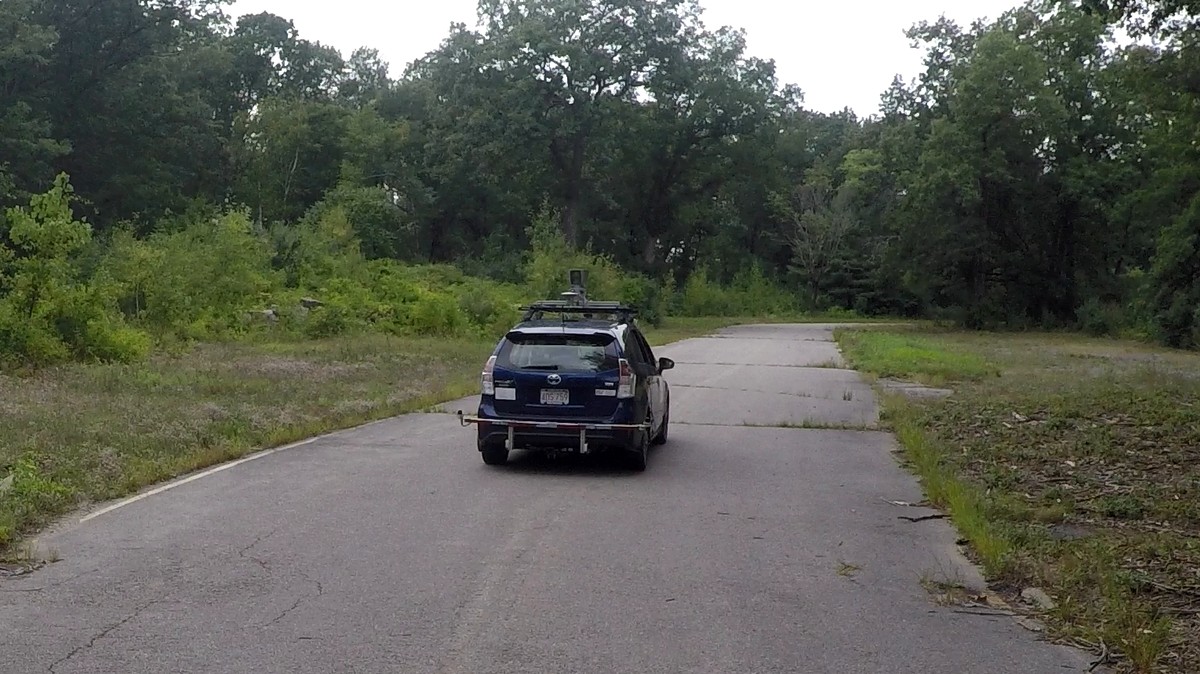
In a paper posted online on May 7 by CSAIL and project partner Toyota, 30-year-old PhD candidate Teddy Ort—along with co-authors Liam Paull and Daniela Rus—detail how using LIDAR (a radar-like sensor that uses lasers instead of radio waves to measure distances) and GPS together can enable self-driving cars to navigate on rural roads without having a detailed map to guide them. The team was able to drive down a number of unpaved roads in rural Massachusetts and reliably scan the road for curves and obstacles up to 100 feet ahead, according to the paper.

Source: vice.com

Share :
comments powered by Disqus

Related Posts

Announcing PyTorch 1.0 for both research and production

Announcing PyTorch 1.0 for both research and production

PyTorch 1.0 takes the modular, production-oriented capabilities from Caffe2 and ONNX and combines them with PyTorch’s existing flexible, research-focused design to provide a fast, seamless path from research prototyping to production deployment for a broad range of AI projects. With PyTorch 1.0, AI developers can both experiment rapidly and optimize performance through a hybrid front end that seamlessly transitions between imperative and declarative execution modes. The technology in PyTorch 1.0 has already powered many Facebook products and services at scale, including performing 6 billion text translations per day.

Read More